Resolution Comparison
 When Should You Choose Higher Resolution?
When it comes to imagery, follow the old saying, “the right tool for the right job.” There is no need to pay for something you don’t need. In many rural areas, 12″ GSD imagery is perfectly satisfactory for seeing buildings and other larger features.
Increased resolution is necessary as you try to identify smaller features. Public works and utility staff will have difficulty identifying some features using 6″ GSD imagery. And if you cannot see something in the imagery, you will have to make a trip to the site — and you can be more efficient achieving more tasks in the office before needing to head to the field.
For suggestions about what resolution fits your needs, download “What Ortho Resolution Is Right for Me.”
Compare For Yourself
Click the button to view the varied resolutions.
Identifiable Features and Given Resolutions
Being able to see features on the ground from your office enables you to view a lot more locations in a day than visiting the sites. The higher the resolution of your imagery, the more features you can see:
| Primary Roads | Unpaved Roads | Trails | Railroads- single line |
| Buildings | Foundations/Ruins | Concrete Pads | Under Construction Zones |
| Airports | Utility Substations | Parking Lots | Bridges/Abutments |
| Culverts (large) | Concrete Dams | Athletic Fields | Tennis Courts |
| Golf Course | Cemetery | Pipelines | Large Signs / Billboards |
| Antenna | Transmission Towers | Water Tanks | Walls-free / retaining / high |
| Treelines | Brushline | Major Fencelines | Swamps |
| Lakes/Ponds | Rivers/streams | Single Trees (35’ crown) | |
| Alleys | Driveways | Shoulders | Public Sidewalks |
| Guardrails | Culverts (small) | Catch basins | In ground pools |
| Light Poles | Utility Poles | Traffic Light | Utility Pole w/light |
| Traffic light | Manholes | Single trees (25’ crown) | Residential Fencelines |
| Curbs | Post | Small Signs | Railroads-double |
| Fire Hydrants | Bushes | Single Tree (>10’ crown) | |
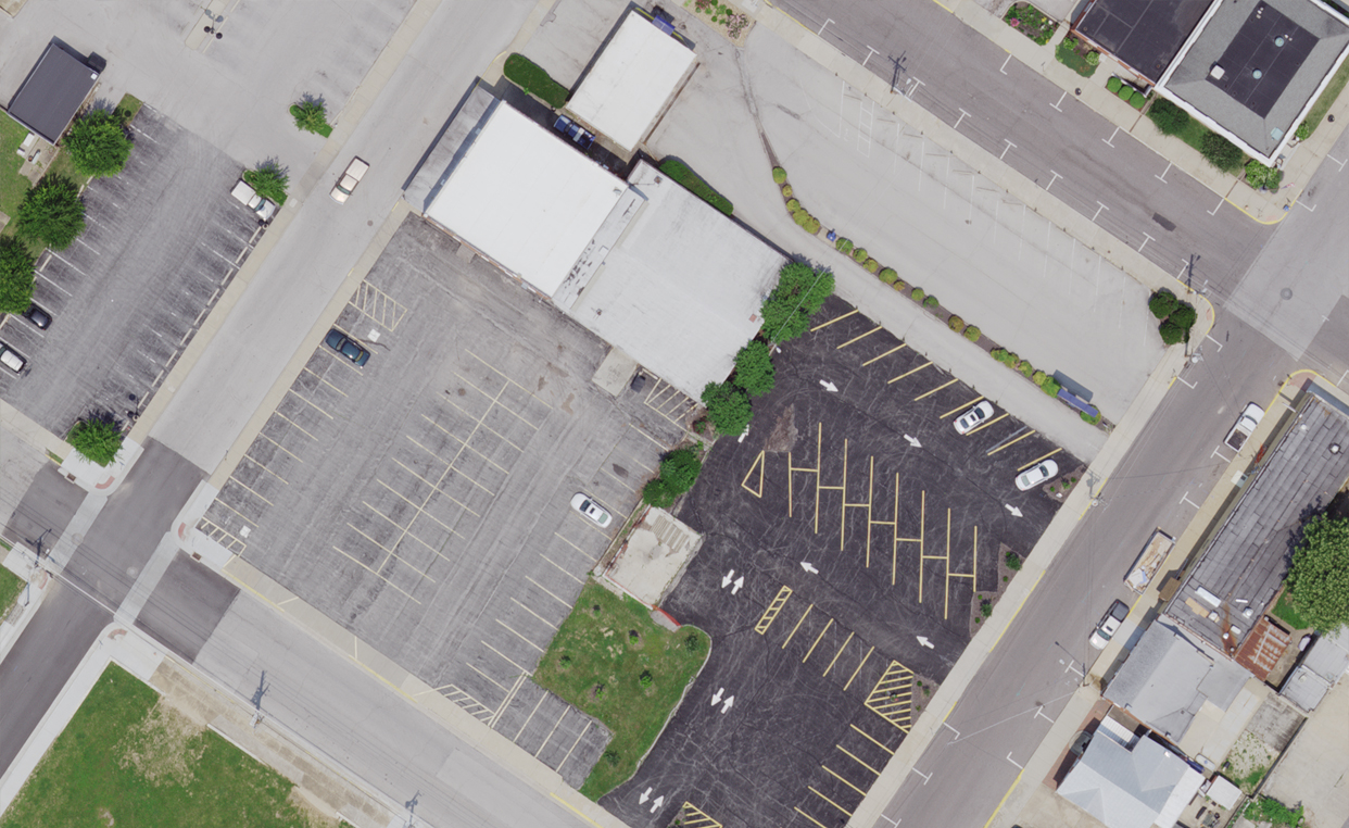
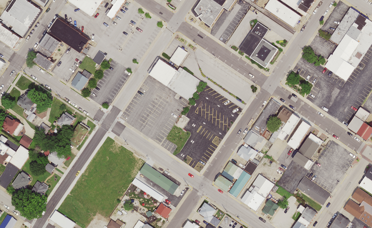
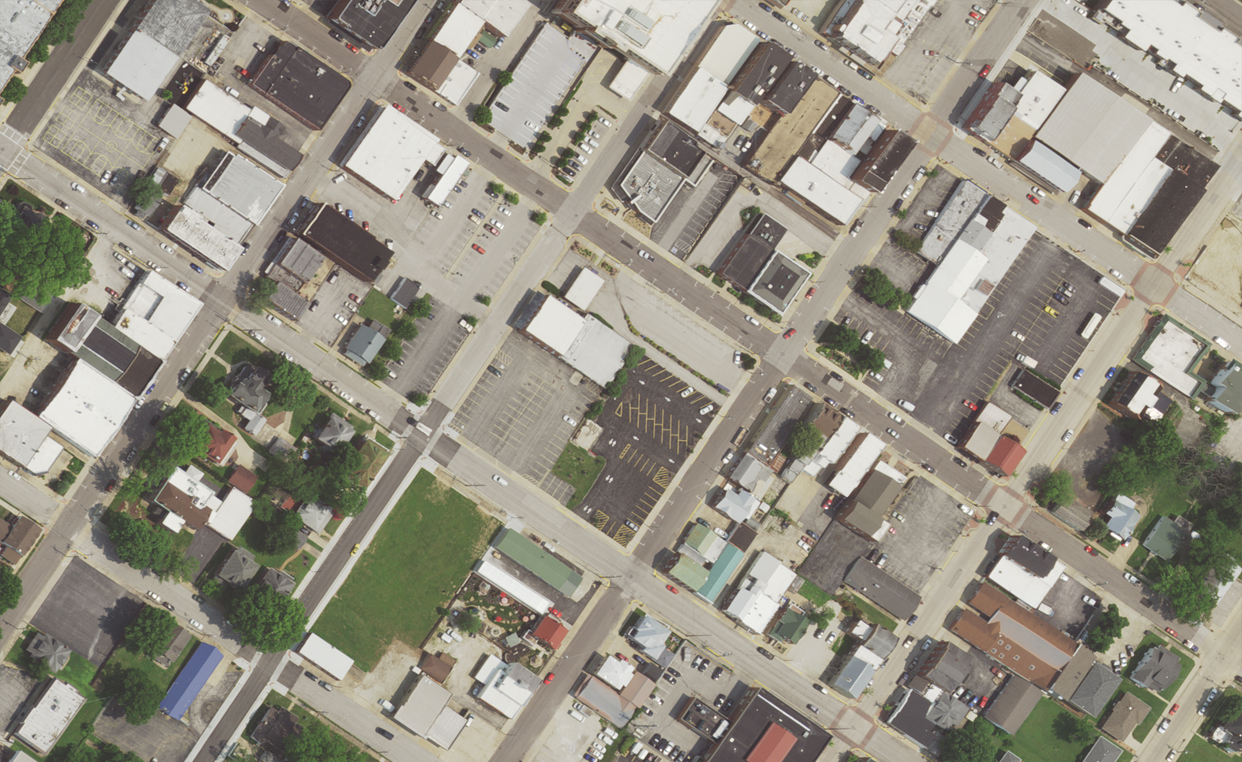
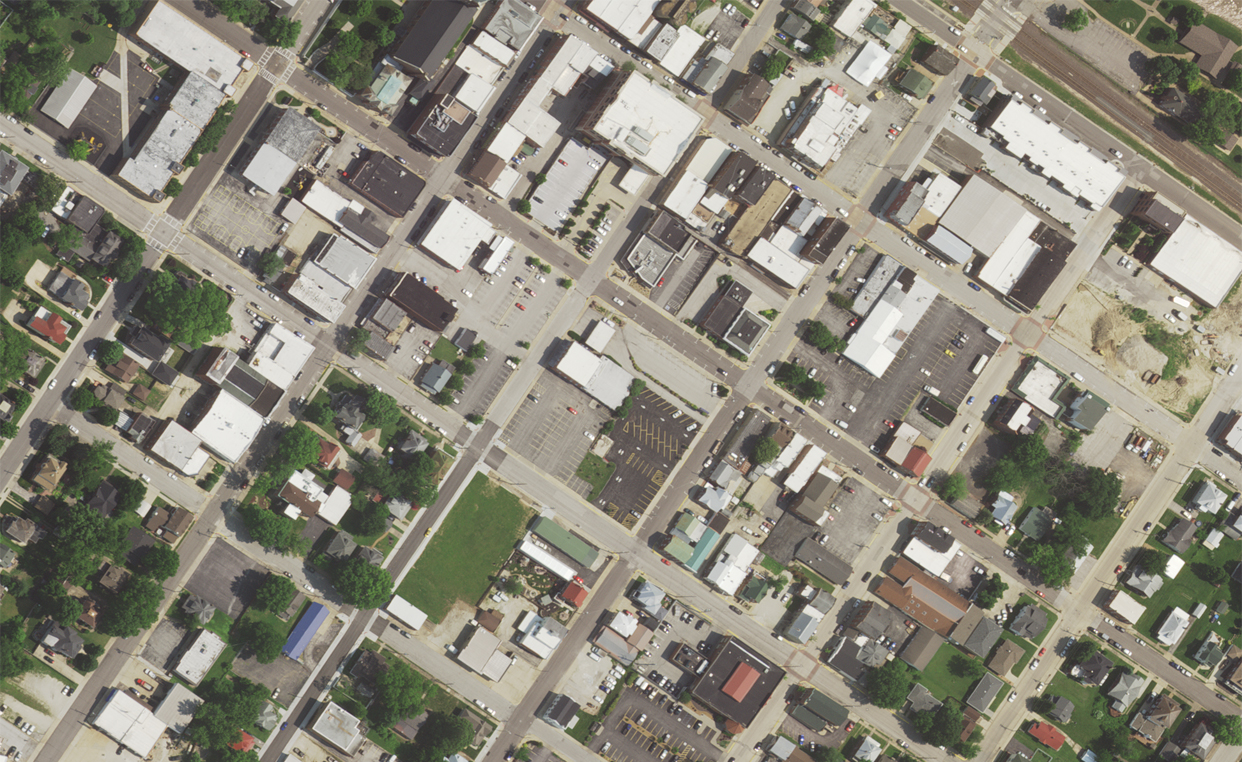
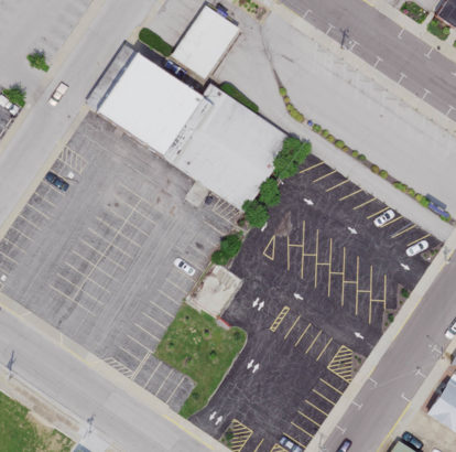
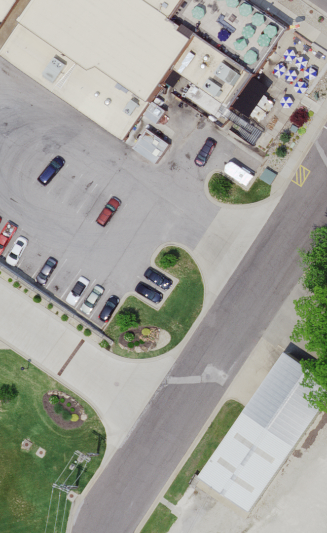
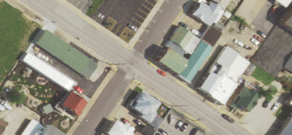
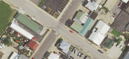
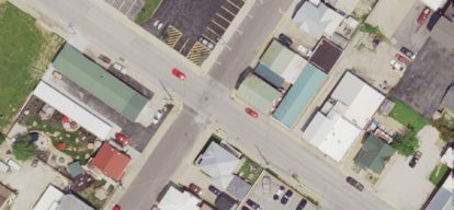
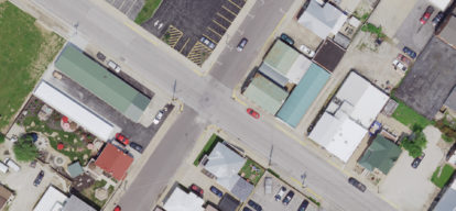
The images below are shown at their optimum raster viewing scale for each resolution (3″, 6″, 9″ and 12″ GSD), what we call 1:1 (one to one). 1:1 means that one pixel on the raster equals one pixel on your screen. To learn more, click here.
1:1 imagery at 3", 6", 9" and 12" GSD