Energy & Utilities
optimize efficiency with precision data
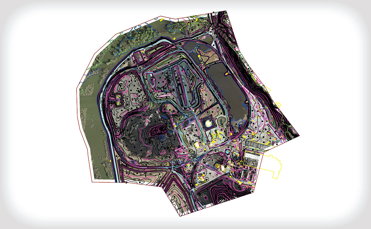
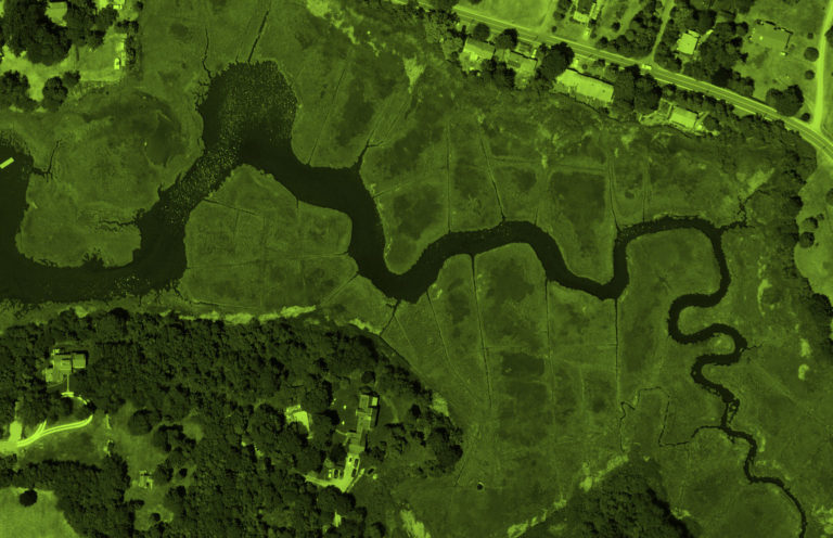
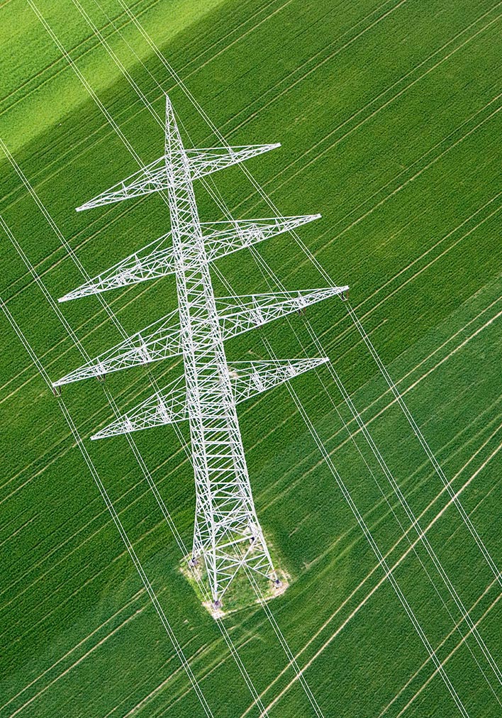
For clients in the electric industry, we capture and process lidar data for transmission line swag analysis and vegetation identification, measurement, and control efforts. In addition, we provide high-resolution digital orthoimagery and lidar data to collect planimetric information, contours, and right-of-way infringements to be used in route planning.
 Examples and Solutions
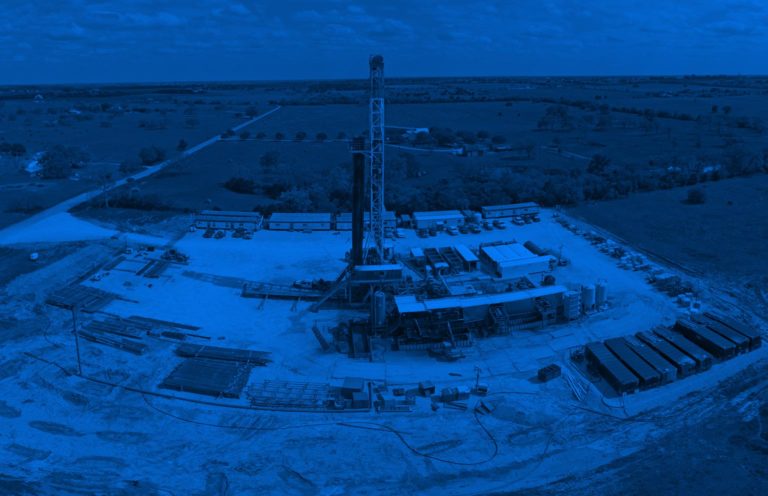
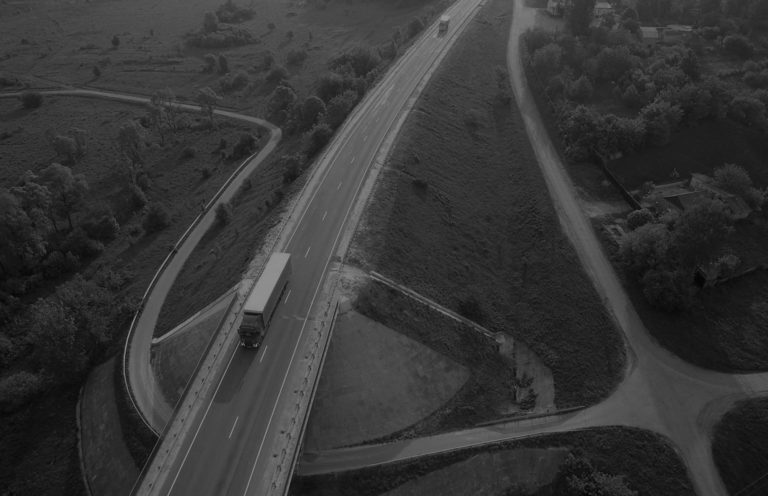
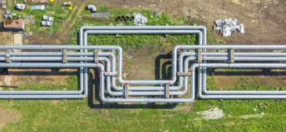
Clients in the energy industry rely on us for their exploration and analysis, pipeline and utility line gathering and distribution, transmission and/or facilities mapping needs. We have mapped over 200,000 miles of pipelines and utility lines, making us one of the foremost mapping companies in the U.S. We also have a Leica RCD30 system that is designed for high-accuracy 3D corridor mapping applications.
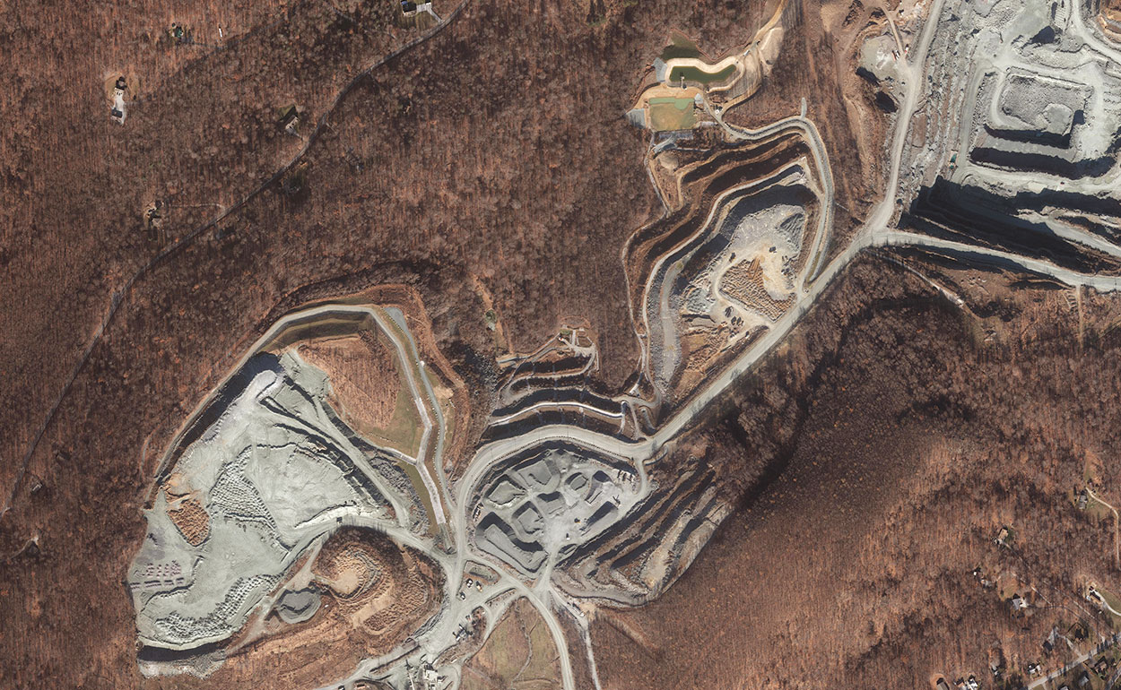
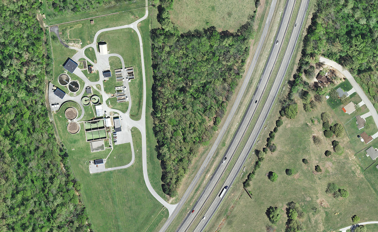
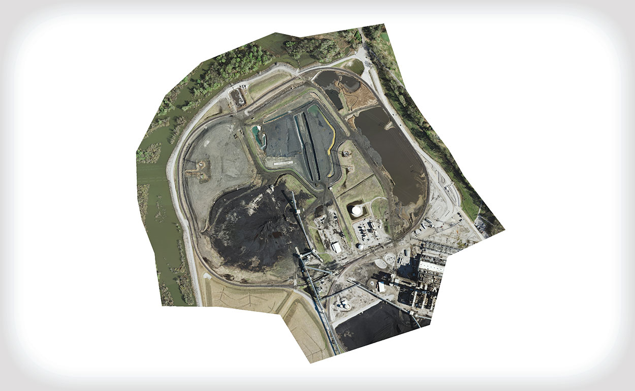
Energy & Utilities Examples