Credentials
Certifications
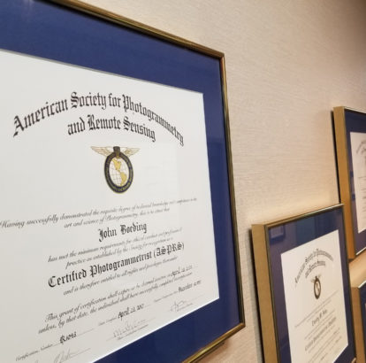
We guarantee our customers the highest level of quality, assuring them that their mapping products will perform exactly as intended. Part of our guarantee of experience and competency can be validated by our high percentage of American Society for Photogrammetry and Remote Sensing (ASPRS) Certified Photogrammetrists amongst our staff.
ASPRS is the governing authority in the world of photogrammetric engineering; they have a certification process that prove an individual’s core competency by requiring:
- Six years of photogrammetric experience
- References from other professionals in the field
- Compliance with the society’s code of ethics
- Competency demonstrated by successful completion of an intensive written exam
ASPRS Certified Photogrammetrists
- Dave Beattie, Aerial Triangulation Specialist
- Scott Merritt, VP IT/R&D
- Tim Bohn, VP of Business Development
- Colby Forke, Director of Image Processing
- Crystal Childress, Geospatial Engineer
- Steve Kasten, VP of Survey / Photogrammetric Engineering
- Cornell Rowan, Senior Project Manager
- Wade Williams, Director of Project Management
- Aaron Garibaldi, Project Manager
Other Certifications
- Certified GIS Professional: Crystal Childress, Geospatial Engineer
- ASPRS Certified GIS/LIS Technologist: Tracy Ray, Marketing Coordinator
- Certified Project Management Professional: Tim Bohn, VP Business Development
- Certified Project Management Professional: Crystal Childress, Geospatial Engineer
- Certified Project Management Professional: Tracy Ray, Marketing Coordinator
Registered Land Surveyor
- Steve Kasten, VP of Survey / Photogrammetric Engineering (PLS, PSM)
Affiliations And Memberships
Download and read more about our Affiliations and Memberships.

American Society for Photogrammetry and Remote Sensing (ASPRS)
Surdex is a sustaining member of ASPRS, a scientific association serving over 7,000 professional members around the world. Their mission is to advance knowledge and improve understanding of mapping sciences to promote the responsible applications of photogrammetry, remote sensing, geographic information systems (GIS), and supporting technologies. In addition, eight of our key employees are ASPRS Certified Photogrammetrists, having met the criteria established by the Society and demonstrated their experience and knowledge.

Management Association for Private Photogrammetric Surveyors (MAPPS)
Surdex is a member of the MAPPS, the only national association of firms in the surveying, spatial data and geographic information systems fields in the United States. MAPPS member firms are engaged in surveying, photogrammetry, satellite and airborne remote sensing, aerial photography, hydrography, aerial and satellite image processing, and GPS and GIS data collection and conversion services.
Missouri Geographic Information Systems Advisory Council (MGISAC)
MGISAC has several objectives, including providing direction and oversight to the Missouri Spatial Data Information Service (MSDIS), developing and publishing standards, representing the state at national meetings and events, hosting an annual statewide GIS conference, coordinating database development, and providing a forum for the state’s GIS community.

National States Geographic Information Council (NSGIC)
NSGIC is an organization committed to efficient and effective government through the prudent adoption of geospatial information technologies. Members include senior state geographic information system managers and coordinators. Other members include representatives from federal agencies, local governments, the private sector, academia and other professional organizations. Their membership includes nationally and internationally recognized experts in geospatial information technologies, data creation and management as well as information technology policy.

Missouri Mappers Association (MMA)
MMA is a nonprofit organization. Its purpose is to bring together those persons concerned with property mapping in state and local governments and private industries, to cooperate in the investigation, study, discussion, and recommendation of improvements in property mapping and land record management, promoting the interchange of ideas and experiences, improving the practice of property mapping and knowledge through education and training, and supporting legislation beneficial to property mappers and land record management.
Surdex has partnered with Hexagon Geosystems to supply and distribute data through a Spatial Data Access Subscription, an ArcXML and WMS service, allowing for real-time streaming of imagery directly to a user’s desktop, as well as a static download from the Spatial Data Store.
![]()
Esri Partner Network/ESRI Business Partner
Surdex is a part of the Esri Partner Network, a community of like-minded organizations, a world-class platform on which to develop solutions and services, and a solid partnership for sharing best practices for geospatial data and resources to ensure success.